top of page
Selected Projects
Enclosure
2001 - 2021
Surveying all the land within the M25, London’s outer motorway ring.
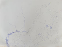
One drawing all the contours, the other all the water.
Using paper Ordnance Survey maps scale 1:25,000, the series for ramblers.
12 drawings tessellated make up a whole drawing.
The images here were damaged by flood, some lines are faded or lost, in places the paper is marked with mould.


bottom of page


